An interactive map, readable figures
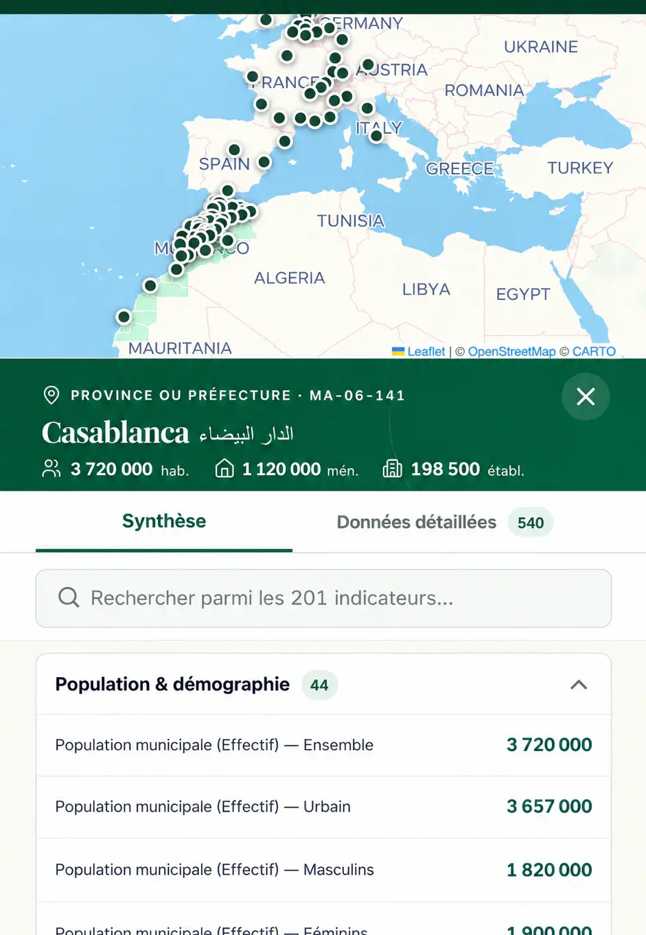
Zoom from the whole country down to the municipality you are interested in and read census data simply: demographics, education, employment, housing, languages.
 Discover
An interactive map with official census data, to get to know an area before settling there.
Zoom from the whole country down to the municipality you are interested in and read census data simply: demographics, education, employment, housing, languages.
And also
Search for a municipality or a province by name, on phone or computer.
The HCP census, by sex and by urban or rural setting when the data exists.
The same benchmarks to compare your target cities, included in your free account.
It’s free.
From the country down to the municipality.
The one you are interested in.
Frequently asked questions
From the General Population and Housing Census published by the High Commission for Planning (HCP). 212.social presents it without modification; when the HCP publishes no value for an area, the map says so.
For each area: demographics, education and literacy, economic activity, housing conditions, mother tongues, health and businesses, with values by sex and by urban or rural setting where available.
It lets you compare areas objectively before choosing where to settle: age structure, housing equipment, employment. The cities you shortlist can then be compared in the B2M journey.